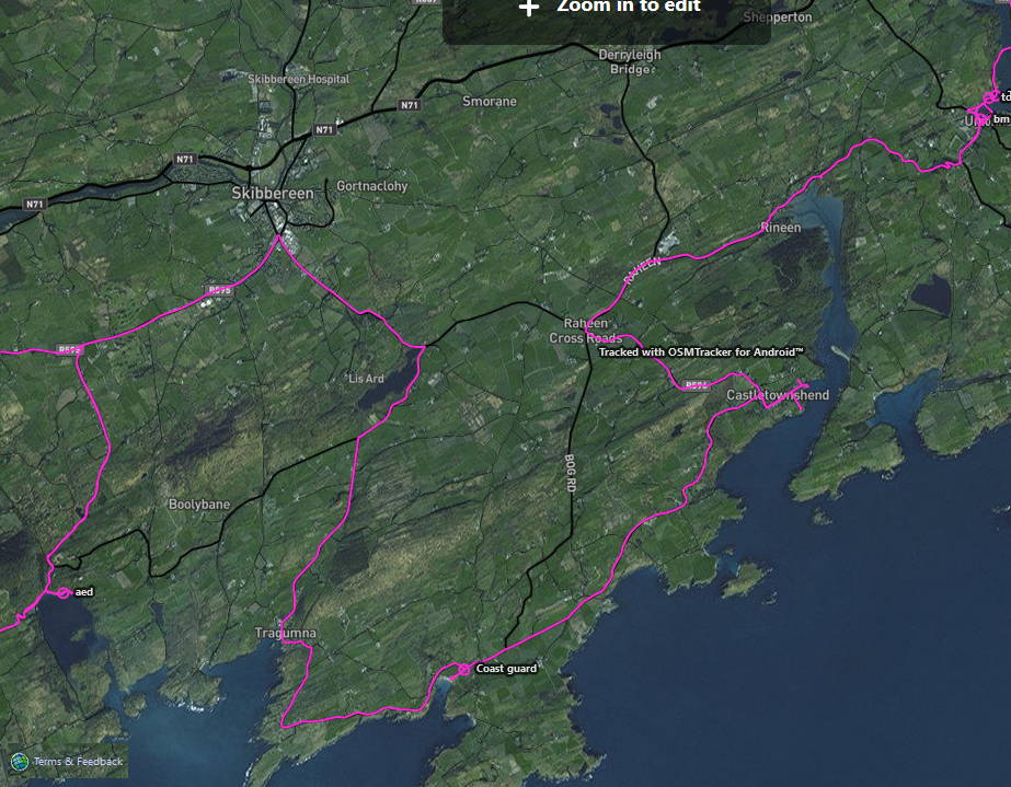
Surveying in Co. Cork has shown that there is not one route; but rather certain towns and villages are part of the Wild Atlantic Way (WAW). There seem to be routes for drivers, motorcyclists, caravan users etc.
We will try to add those roads signposted with the blue zigzag line indicating the WAW to the relation.

Often at crossroads, you will come across two variations of the way, indicated by the use of cardinal directions in brackets (North and South).
The route of the Wild Atlantic Way can be obtained from a number of sources for example:
- exploring the WAW yourself and tracing a gpx track
- local knowledge
- Mapillary
- the Fáilte Ireland website (cannot be directly used for mapping due to unknown copyright) and also does not reflect ground truth, i.e. signage
- an extract of the Fáilte Ireland map (also cannot be directly used for mapping due to unknown copyright)
If you have tracked parts of the WAW yourself, but you see yourself unable to do the mapping, please share the file with OSM Ireland in our Telegram group.
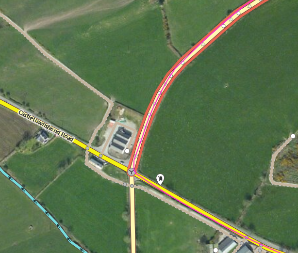
Open the gpx track in iD to help you identify relevant roads. You can only add roads to the existing relation of the WAW, if parts of the relation are shown on your screen, so you can choose it from your relations menu. So start adding roads from the last mapped bits of the WAW.
Highlight the road you want to add.
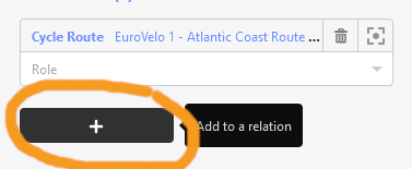
In the “relations” menu, click on the Plus symbol to add the road to a relation.
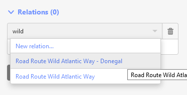
Type “wild” to be able to choose “Road Route Wild Atlantic Way - COUNTY”. It will only show this option, if there are parts of the already mapped relation in view. The one with the COUNTY (for example Donegal) should be used as there is a recommended limit of 2000 members in a relation. The list of relations is documented on the Wiki:
https://wiki.openstreetmap.org/wiki/Wild_Atlantic_Way
To see what parts have already been added you can query an area with Overpass Turbo and the linked query: http://overpass-turbo.eu/s/183M
Proceed until all the roads that need to be part of the relation are part of the relation.
Save your work using the hashtag #wild_atlantic_mapping.
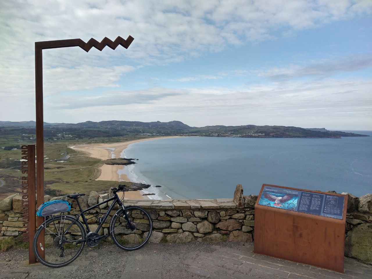
If you have tracked them, you can also add the iron WAW markers as
tourism=information
information=route_markername=Wild Atlantic Way:Ballymastocker Strand (for example). The name is written on the side of them from bottom to top.
Their role in the relation is route_marker.
You can also add these to the relation as well as any other information signs along the way relating to the WAW.
(You can also upload their images to WikiCommons and geolocate them for future reference.)
1 Comment
Mapping the Wild Atlantic Way – OpenStreetMap Ireland · 3 June 2021 at 8:11 am
[…] Add elements to the Wild Atlantic Way relation using iD Adding to the Wild Atlantic Way relation using JOSM […]