Missions
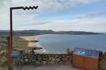
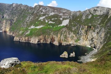
Wild Atlantic Way – an update
Observers of our current project, the mapping of the Wild Atlantic Way, will have spotted that things are a little delayed. There are a few reasons for this, but one relates to the fact that it is, indeed, a bit Read more…