Competition
Announcing #MapPatrick21
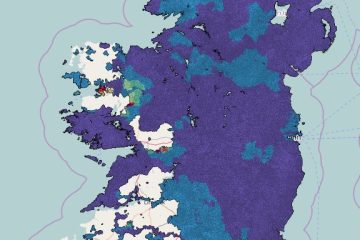
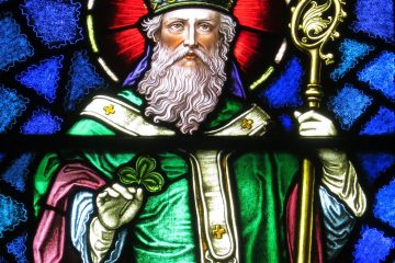
Five days of mapping fun: Wed March 17th to Sunday March 21st The Christian Saint – Patrick – may have lots of doubts over who he was, where he came from, when his adventures in Ireland happened, and how he achieved magical things like banishing all the snakes from this Read more…